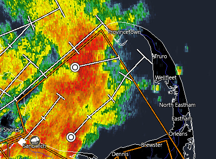
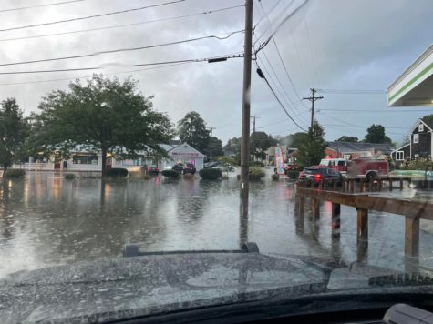
For the second day in a row flooding is occurring across part of Cape Cod as too much of a good thing comes too fast. Bourne firefighters responded to several reports of flooded basements. Bourne Police posted this photo of flooding in the Shore Road area:
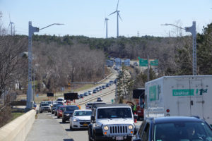
The evening commute on the Sagamore Bridge was at a crawl as some flooding was again reported by the Market Basket (MassDOT)

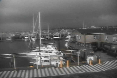
This photo shows ominous clouds moving in on Provincetown (provincetownview.com)
Previous coverage:
Special Weather Statement
National Weather Service Boston/Norton MA
543 PM EDT Tue Aug 23 2022
…A strong thunderstorm will impact portions of northeastern Barnstable County through 645 PM EDT…
At 543 PM EDT, Doppler radar was tracking a strong thunderstorm near Provincetown, moving northeast at 15 mph.
HAZARD…Winds in excess of 40 mph and pea size hail.
SOURCE…Radar indicated.
IMPACT…Strong winds could cause minor damage such as downed branches. Little to no impact from hail is expected.
Locations impacted include…
Provincetown, Eastham, Wellfleet and Truro.
PRECAUTIONARY/PREPAREDNESS ACTIONS…
Get indoors when you hear thunder. Do not resume outdoor activities until at least 30 minutes after the storm has passed.
Previous coverage:

Special Weather Statement
National Weather Service Boston/Norton MA
527 PM EDT Tue Aug 23 2022
…A strong thunderstorm will impact portions of southern Barnstable and southeastern Plymouth Counties through 630 PM EDT…
At 527 PM EDT, Doppler radar was tracking a strong thunderstorm over Sandwich, or 8 miles northwest of Barnstable, moving east at 15 mph.
HAZARD…Winds in excess of 40 mph.
SOURCE…Radar indicated.
IMPACT…Strong winds could cause minor damage such as downed branches.
Locations impacted include…
Plymouth, Barnstable, Falmouth, Brewster, Yarmouth, Wareham, Sandwich, Bourne, Dennis, Mashpee and Harwich.
PRECAUTIONARY/PREPAREDNESS ACTIONS…
Get indoors when you hear thunder. Do not resume outdoor activities until at least 30 minutes after the storm has passed.
Do not drive through flooded roads or underpasses. Avoid low lying areas near small streams.
Frequent cloud to ground lightning is occurring with this storm. Lightning can strike 10 miles away from a thunderstorm. For your safety, go indoors or to your vehicle.
Previous coverage:
Special Weather Statement
National Weather Service Boston/Norton MA
458 PM EDT Tue Aug 23 2022
…A strong thunderstorm will impact portions of northwestern Barnstable and southeastern Plymouth Counties through 545 PM EDT…
At 458 PM EDT, Doppler radar was tracking a strong thunderstorm over Plymouth, moving east at 25 mph.
HAZARD…Winds in excess of 40 mph.
SOURCE…Radar indicated.
IMPACT…Strong winds could cause minor damage such as downed branches.
Locations impacted include…
Plymouth, Wareham, Bourne, Kingston and Carver.
PRECAUTIONARY/PREPAREDNESS ACTIONS…
Get indoors when you hear thunder. Do not resume outdoor activities until at least 30 minutes after the storm has passed.
Do not drive through flooded roads or underpasses. Avoid low lying areas near small streams.


